
Getting Around Bicester: Trains, Buses, Bikes and Parking
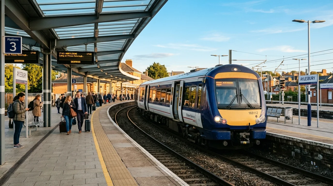
Leaving your front door in Kingsmere, Bure Park, or Elmsbrook on a brisk weekday morning, you join neighbours heading out across town towards schools, offices, and shopping streets. Whether you are catching a Chiltern train into Marylebone, hopping on the S5 bus to Oxford, or cycling along dedicated greenways, understanding local transport Bicester infrastructure saves you valuable time every day. North Oxfordshire functions as a busy junction where historic market lanes meet modern road corridors and expanding regional railways. Good travel planning keeps your daily schedule moving smoothly. This comprehensive local guide provides clear answers on rail services, bus schedules, cycle paths, and town centre parking.
TL;DR: Getting Around Bicester
- What this post covers: A complete local guide to transport Bicester networks, detailing two railway stations, bus connections, cycle paths, and council car parks.
- Why it matters to Bicester residents now: Rapid town growth and regional infrastructure projects change daily route choices for commuters, shoppers, and local families.
- The key highlight or finding: Direct rail journeys reach central London in 46 minutes from Bicester North and Oxford in 14 minutes from Bicester Village station.
- What practical information you will get: Exact postcodes for station and council parking, S5 bus frequency details, cycle route connections, and tips to avoid level crossing delays.
- A single immediate action you can take: Download the Chiltern Railways and Stagecoach Bus apps to track real-time departures before leaving home.
How Do Bicester’s Two Railway Stations Compare?
Bicester enjoys an enviable railway setup with two distinct mainline stations serving different regional destinations. Choosing the best station depends on where your home sits, how you travel to the platform, and which city centre you need to reach. For a complete side-by-side comparison of routes, parking, and walking distances, see our dedicated guide to Bicester North vs Bicester Village station.
Bicester North railway station sits on Buckingham Road (postcode OX26 6EF) along the Chiltern Main Line. This station handles express commuter services running between Birmingham Snow Hill, Banbury, and London Marylebone. Fast morning services run every 20 to 30 minutes during peak hours, with direct trains reaching London Marylebone in 46 to 52 minutes. The station provides 520 parking bays managed by APCOA, heated waiting rooms on both platforms, a staffed ticket office, and sheltered bicycle storage with CCTV monitoring. If you live in Bure Park, Highfield, Caversfield, or Elmsbrook, walking or cycling to Bicester North takes between 10 and 20 minutes along designated pathways. For a full breakdown of season tickets and peak schedules, read our Bicester to London train commute guide.
Bicester Village railway station is situated on Station Approach (postcode OX26 6HU) along the modernised Oxford-to-London route. Chiltern Railways operates fast trains that connect Bicester to Oxford in 14 minutes (as detailed in our Bicester to Oxford travel options guide) and to London Marylebone in 50 to 58 minutes. The terminal features modern ticket barriers, collection machines, accessible lift-equipped footbridges, and a 230-space car park. Residents in Kingsmere, Langford Village, and Graven Hill can reach the station entrance promptly via off-road cycle tracks. Furthermore, the East West Rail guide explains how this station forms the central hub for passenger services connecting westbound to Oxford and eastbound to Bletchley, Winslow, and Milton Keynes Central.
| Station Feature | Bicester North Station (OX26 6EF) | Bicester Village Station (OX26 6HU) |
|---|---|---|
| Railway Line | Chiltern Main Line (Birmingham to London) | Oxford to London Line & East West Rail |
| Fastest Trip to London | 46 minutes (to Marylebone) | 50 minutes (to Marylebone) |
| Fastest Trip to Oxford | Requires change at Oxford Parkway | 14 minutes (direct to Oxford) |
| Peak Train Frequency | 2 to 3 trains per hour | 2 trains per hour |
| Car Parking Capacity | 520 vehicle bays (APCOA app) | 230 vehicle bays (Surface & Multi-storey) |
| Nearest Residential Areas | Bure Park, Highfield, Town Centre, Elmsbrook | Kingsmere, Langford Village, Graven Hill |
| Cycle Storage | Covered racks with CCTV monitoring | Covered stands beside main entrance |
What Are the Key Bus Routes and Park and Ride Facilities in Bicester?
Bus travel provides reliable public transit across town and across county borders. Stagecoach Oxfordshire operates the core local and inter-urban network, giving residents viable alternatives to driving on busy arterial roads. For detailed village timetables and express schedules, read our complete guide to Bicester bus routes.
The Stagecoach S5 express service forms the backbone of bus connections between Bicester and Oxford City Centre. Departing from Glory Farm and running through Bicester town centre via Manorsfield Road (Pioneer Square), the S5 continues past Bicester Village and Kingsmere before reaching Oxford Magdalen Street in roughly 40 to 50 minutes. Buses operate every 15 minutes during peak daytime hours from Monday to Saturday, with a 30-minute Sunday schedule. For late evening travellers, the NS5 night bus runs throughout Friday and Saturday nights, ensuring safe returns from Oxford social outings. These reliable Bicester transport links give students and hospital staff dependable daily access to the Headington medical campuses and university departments.
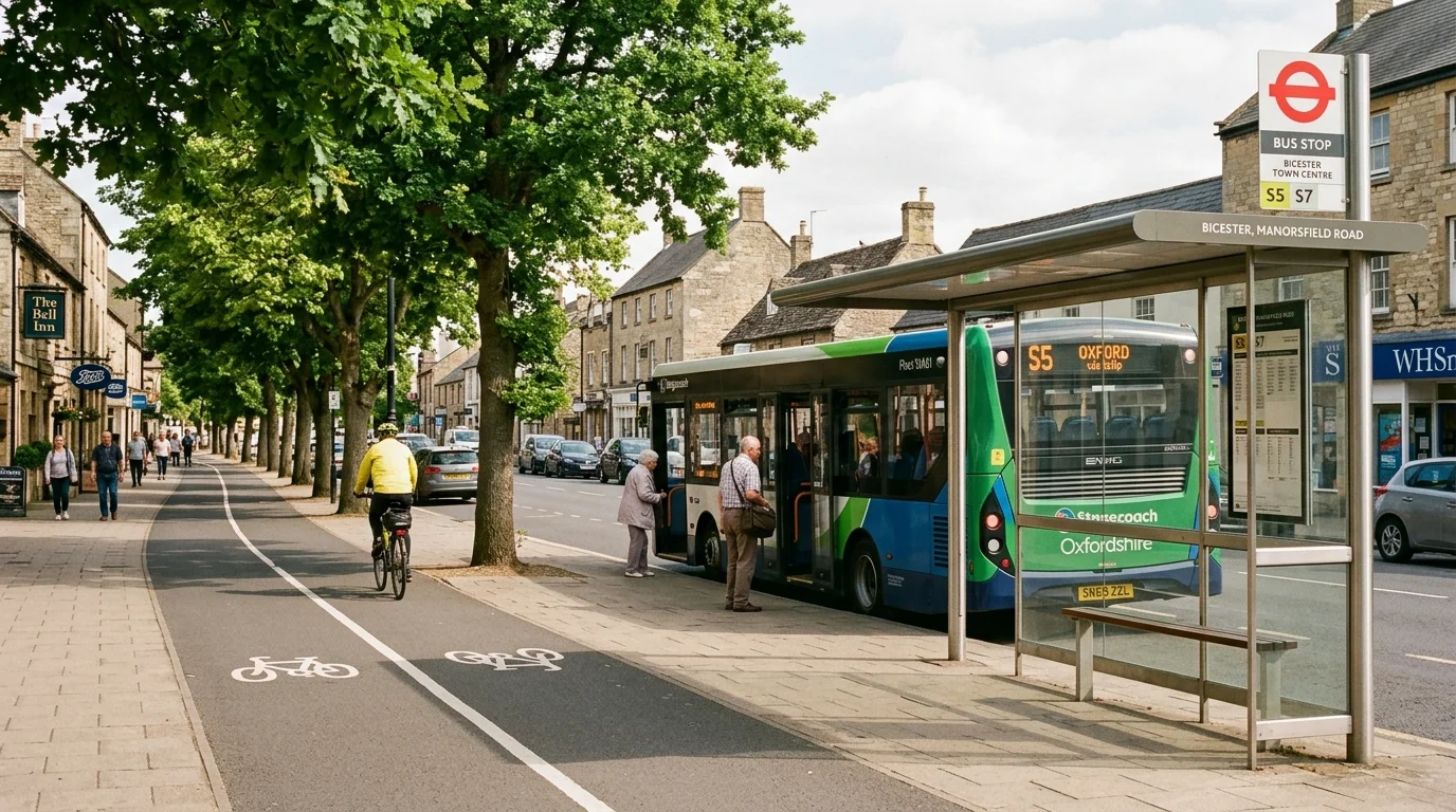
For wider regional travel, the Stagecoach X5 express coach connects Oxford to Bedford via Bicester town centre, Buckingham, and Milton Keynes. Passengers board at Pioneer Square or stops along the A41 corridor, making this service ideal for cross-county commuting without train transfers. Within the town boundaries, route 26 circles residential neighbourhoods, connecting Kingsmere, Bicester town centre, Caversfield, and Glory Farm every 30 minutes. Meanwhile, residents in the North West eco-development benefit from the E1 electric bus, which connects Elmsbrook directly to Bicester North station and Sheep Street.
The Bicester Park and Ride site sits on the southern edge of town off the A41 at Vendee Drive roundabout (postcode OX26 1BT). This purpose-built transport interchange provides 580 parking bays, dedicated disabled spaces, electric vehicle charging points, and sheltered bus waiting areas. Parking is completely free of charge for up to 24 hours, meaning you only pay the bus fare into Oxford or Bicester town centre. Taking the S5 from the Park and Ride avoids central Oxford congestion and expensive city parking charges. To learn how local infrastructure is maintained across Cherwell, consult our review of Cherwell District Council services.
Where Can You Cycle and Walk Safely Across Town?
Active travel sits at the heart of Bicester’s designation as a Garden Town and Healthy New Town. Over the past decade, local authorities have invested in dedicated cycle paths and pedestrian corridors that keep cyclists separated from heavy motor traffic.
The town features two prominent 5km Health Routes, marked by blue and green surface lines painted on pavements and shared paths. These circular routes link residential neighbourhoods, primary schools, and green spaces, encouraging residents of all fitness levels to walk, jog, or cycle safely. A wide off-road shared path runs parallel to the A41 from Kingsmere to the town centre, allowing cyclists to reach Sheep Street in under 10 minutes. Similarly, northern routes follow the River Bure green corridor from Bure Park down to the railway bridges, keeping cyclists away from congested junctions. Explore our Bicester cycling routes and Bicester walking routes guides, as well as our detailed review of cycling infrastructure in Bicester, for maps and route planning.
Secure cycle parking is available at key civic locations across town. Both Bicester North and Bicester Village railway stations provide sheltered bike stands under active CCTV surveillance, making mixed-mode rail commutes straightforward. In the town centre, you can lock bicycles securely in Market Square, outside Pioneer Square library, and along Sheep Street. Because Bicester occupies relatively flat terrain spanning roughly three miles from east to west, cycling from outer estates like Graven Hill or Elmsbrook to the Sheep Street pedestrian high street rarely takes more than 12 to 15 minutes.
Where Should You Park When Driving and Visiting Bicester Town Centre?
While public transit and cycling continue to expand, driving remains essential for routine local errands, tradespeople, and rural journeys across Oxfordshire. Understanding road connections and parking options prevents unexpected delays when getting to Bicester.
Bicester sits conveniently between Junction 9 (Wendlebury interchange) and Junction 10 (Cherwell Valley Services) of the M40 motorway. The dual-carriageway A41 links the town southwards to Oxford and the A34, while the A43 and A421 provide fast dual-carriageway routes towards Silverstone, Northampton, and Milton Keynes. When driving into town, Cherwell District Council operates several public car parks within a short walk of shops and dining spots. Choosing the right car park depends on whether you plan a quick 30-minute shop or a full day out in town. Consult our in-depth guide to car parking in Bicester for detailed breakdown of tariffs and charging rules.
| Car Park Name | Location / Postcode | Stay Type | Total Bays | Key Features & Payment |
|---|---|---|---|---|
| Pioneer Square Multi-Storey | Franklins Yard (OX26 6JU) | Short / Medium Stay | 510 bays | Covered parking next to Sainsbury’s & Vue Cinema; card and RingGo |
| Claremont Car Park | Victoria Road (OX26 6QD) | Short Stay (Max 4 hrs) | 65 bays | Surface parking steps from Sheep Street; card and PayByPhone |
| Market Square Car Park | Market Square (OX26 6AA) | Short Stay (Max 2 hrs) | 45 bays | Central historic heart; ideal for quick market visits; card and RingGo |
| Cattle Market Car Park | Victoria Road (OX26 6QB) | Long Stay | 180 bays | Economical all-day parking; short walk to town centre; card and RingGo |
| Victoria Road Car Park | Victoria Road (OX26 6PB) | Short Stay | 40 bays | Convenient access to east end shops and medical practices |
| Bicester Park & Ride | A41 Vendee Drive (OX26 1BT) | Long Stay (Up to 24 hrs) | 580 bays | Free vehicle parking; S5 bus connection to Oxford and town centre |
Council car parks operate charging hours between 08:00 and 19:00 from Monday to Saturday, with free parking after 19:00 and on Sundays in designated council surface bays. Most pay machines accept contactless debit cards, Apple Pay, and digital phone apps like RingGo or PayByPhone, so you do not need loose change.
One notable traffic feature that every driver must understand is the London Road level crossing on the south side of town. Because train movements have increased significantly with East West Rail operations, the crossing barriers remain closed for extended periods during peak hours. If you need to travel between southern estates like Langford Village or Kingsmere and northern areas like Launton Road, using peripheral ring roads such as Vendee Drive, the A41, and Neunkirchen Way avoids barrier queues. These strategic road links and infrastructure plans are key reasons why families reading our moving to Bicester overview and deciding whether is Bicester a good place to live discover that local mobility works well when planned smartly.
Local Transport Playbook: Which Travel Route Fits Your Daily Routine?
Every resident balances different work schedules, family commitments, and travel budgets. Use this practical decision playbook to pick the most efficient Bicester travel options for your daily routine:
- If you work in central London two or three days a week: Board the fast Chiltern Mainline service from Bicester North to Marylebone, and use an 8-day Flexi Season ticket loaded onto a Chiltern Smartcard to minimise travel expenditure.
- If you commute to Oxford universities or hospitals daily: Take the direct 14-minute train from Bicester Village station into Oxford, or catch the Stagecoach S5 bus from the Bicester Park and Ride if you work near Summertown or Headington.
- If you need to reach Milton Keynes, Buckingham, or Bedford: Board the Stagecoach X5 express coach from Pioneer Square, or take the East West Rail service directly from Bicester Village station to Bletchley and Milton Keynes Central.
- If you live in Kingsmere or Langford Village and work in Bicester town centre: Cycle along the segregated Oxford Road cycleway to reach Sheep Street in under 10 minutes, avoiding level crossing delays entirely.
- If you live in Elmsbrook or Bure Park: Use the dedicated off-road paths along the River Bure green corridor to walk or cycle to Bicester North station in 10 to 15 minutes.
- If you are driving into town for Friday Market or weekend shopping: Park in the Pioneer Square multi-storey car park for sheltered parking right next to Sheep Street and Crown Walk.
- If you are travelling with double pushchairs, heavy luggage, or wheelchairs: Both Bicester North and Bicester Village stations offer step-free platform access via passenger lifts, while Stagecoach S5 and 26 buses provide low-floor ramp boarding.
Final Thoughts and Next Steps for Getting Around Bicester
Choosing the right combination of rail, bus, cycle paths, and parking makes daily transport Bicester travel dependable and straightforward for every resident. By pairing off-peak rail savings with Park and Ride connections and segregated cycle tracks, you can navigate North Oxfordshire quickly without added stress.
In our upcoming local guides, we will explore residential active travel expansions and look ahead to community events across the town centre. Keep an eye on our event calendar to see what is happening across Bicester each weekend.