
A Bicester Heritage Trail: A Self-Guided Walking Tour
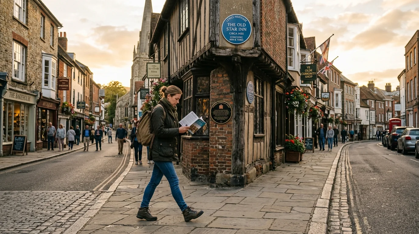
When walking down Sheep Street on a crisp Friday morning, you might notice blue plaques and medieval stone walls set beside independent coffee shops and timber-fronted bakeries. It is natural to pass these historic details while rushing to run weekend errands or catching a train from Bicester North station. Setting aside an hour to follow a dedicated Bicester heritage trail reveals two thousand years of living history woven directly into our everyday streets. From Saxon minster arches and medieval priory grounds to Victorian country estates and interwar aviation airfields, this self-guided walk connects our town’s finest historical landmarks. Grab comfortable walking shoes and discover how each stop along this circular route brings Bicester’s past to life.
TL;DR: Bicester Heritage Trail
- What this post covers: A complete self-guided Bicester heritage trail detailing a circular walking route through the town centre’s most significant historical sites.
- Why it matters to Bicester residents now: Exploring our historic walk Bicester highlights preserved heritage features hidden behind modern high street facades and public parks.
- The key highlight or finding: The circular route spans approximately 2.5 miles (4 kilometres), taking roughly 75 minutes at a relaxed walking pace across flat, paved terrain.
- What practical information they will get: Precise step-by-step directions, historical stop descriptions, blue plaque locations, accessibility details, and refreshment stops along the way.
- A single immediate action they can take: Start your self-guided tour Bicester from St Edburg’s Church on Church Street and follow the route north toward Market Square, Garth Park, and Sheep Street.
Where Does the Bicester Heritage Trail Start and What Is the Route?
The circular walking route begins outside St Edburg’s Church on Church Street (postcode OX26 6AR), which forms the historic core of Anglo-Saxon Bicester. From the churchyard gates, you head east along Church Street past 17th-century stone cottages toward Priory Lane. This initial leg traces the southern perimeter of the former Augustinian Priory founded in 1182, where medieval canons tended gardens, managed fishponds, and hosted travelling pilgrims. Continuing north along Chapel Street brings you directly into Market Square, where King Henry III granted Bicester its official royal market charter in 1239.
From Market Square, the trail crosses Manorsfield Road and follows Launton Road east toward Garth Park. Entering the ornate iron gates leads you directly to Garth House, an elegant Victorian country residence constructed in 1840 by Richard Falshaw. After exploring the manicured gardens, you exit onto Causeway and head west along Sheep Street, the pedestrianised shopping high street lined with blue plaques and historic timber-framed courtyards. The entire core loop covers approximately 2.5 miles (4 kilometres) of flat terrain, making it accessible for pushchairs and mobility scooters. You can read more about how local transport connected these historic sites in our overview of the history of Bicester.
The walk takes approximately 75 minutes at a relaxed pace, allowing ample time to inspect architectural details, read memorial markers, and take photographs. Because the trail forms a complete loop, you can comfortably join the circuit at any point, including Market Square or Garth Park. Information boards managed by Bicester Local History Society provide contextual historical maps near key junctions. You will find that walking this route gives you a clear spatial understanding of how medieval hamlets merged into the unified market town we enjoy today.
What Are the Key Historic Landmarks and Blue Plaques to See Along the Way?
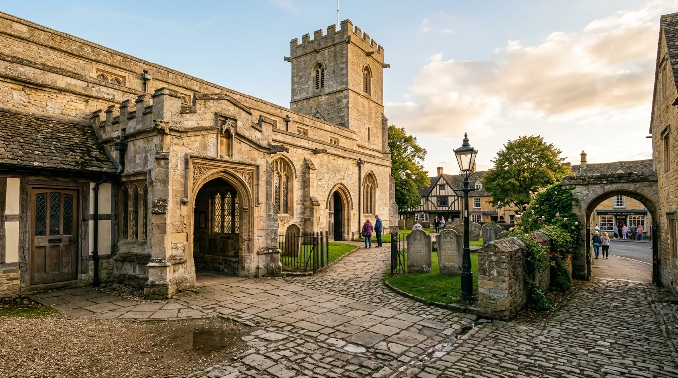
St Edburg’s Church stands as the primary architectural anchor of the entire trail. Saxon King Cynegils of Wessex converted to Christianity under Saint Birinus around AD 635, establishing an early minster church on this exact ground. Dedicated to Saint Edburg of Bicester, a 7th-century Saxon princess, the present building contains 12th-century Norman nave arches and a prominent 14th-century stone tower. If you step inside the north wall of the nave, you will view a triangular-headed Saxon archway built from dressed limestone. You can explore the complete story of this sacred structure in our guide to St Edburg’s Church.
Moving from Church Street into Priory Lane brings you to the historic grounds of Bicester Priory. Founded in 1182 by Norman Lord of the Manor Gilbert de Basset, the priory housed Augustinian canons until King Henry VIII ordered the Dissolution of the Monasteries in 1536. Although original priory walls were dismantled, nearby street names preserve its spatial footprint. You can discover how monastic agriculture shaped local trade in our historical overview of Bicester Priory history.
Market Square represents eight centuries of continuous commercial activity. Blacksmiths, weavers, butchers, and wool merchants gathered around this triangular space after the 1239 royal charter. Historic coaching inns surround the square, including The King’s Arms and The Crown, which served mail coaches travelling along the Oxford to Buckingham turnpike. If you look above ground-floor shopfronts along Sheep Street, you will spot blue plaques marking historical workshops, including the 18th-century clockmaking premises of William Mankin. Learn how trade expanded along these lanes in our guide to Bicester’s Market Square history.
Garth Park offers a peaceful greenery stop surrounded by Victorian heritage. Richard Falshaw built Garth House in 1840 in the Gothic Revival style, featuring steep gables, stone mullioned windows, and manicured lawns. Today, Bicester Town Council uses the building for civic offices, while the former stables house Garth Park Kitchen. You can find full details on visiting the house and gardens in our feature on Garth House and Garth Park. Walking down Sheep Street afterwards reveals timber-framed passageways at Dean’s Court and Evan’s Yard, which you can read about in our guide to a walk down Sheep Street.
How Can You Extend Your Historic Walk to Alchester Roman Fort and RAF Bicester?
If you wish to explore deeper historical layers beyond the town centre loop, two major heritage extensions branch off from the main trail. Heading two miles south along public footpaths from Church Street leads to Alchester Roman Fort near Wendlebury. Roman legionary forces under Emperor Claudius established this garrison in AD 43 at the strategic junction of Akeman Street. Excavations by Oxford University revealed wooden gateposts, gravel parade grounds, and stone town walls from AD 44. You can trace these ancient earthworks across open fields using our guide to Alchester Roman town.
Heading 1.5 miles north along Buckingham Road leads to Bicester Motion, situated on the former RAF Bicester airfield. Established in 1916 by the Royal Flying Corps, the site developed into a permanent RAF Bomber Command station during the 1920s under architect Archibald Bickerton. During the Second World War, the airfield served as a major operational training hub and military logistics centre. Recognized by Historic England as Britain’s most complete interwar military airfield, it now accommodates specialist automotive engineering firms. You can explore aviation history in our feature on RAF Bicester history and wartime military operations in our guide to Bicester World War Two history.
Combining both extensions with the town centre loop creates an immersive full-day walking itinerary covering nearly seven miles. This extended option suits keen walkers who want to experience Bicester’s complete timeline from ancient Roman military outposts to 20th-century aviation innovations. For more countryside loops and nature trails across the parish, explore our guide to the best walking routes around Bicester. Footpaths connecting the town centre to Alchester run across level agricultural fields, requiring sturdy walking boots during wetter winter months. Signposted directions along Buckingham Road make reaching the airfield straightforward for cyclists and pedestrians alike.
Bicester Heritage Trail Playbook: How to Plan Your Walk
Planning your self-guided walk around Bicester is straightforward if you match the route to your specific schedule and walking preferences. Here is practical advice for different scenarios:
- If you are walking with young children or double prams: Stick to the core 2.5-mile town centre loop. All footpaths across Church Street, Market Square, Garth Park, and Sheep Street feature level paving and dropped kerbs.
- If you are bringing dogs: Garth Park provides open grass lawns for exercise, while Garth Park Kitchen and several Market Square cafes offer dog-friendly outdoor seating.
- If you want refreshment stops: Pause halfway through the route at Garth Park Kitchen for hot tea and scones, or enjoy fresh pastries at independent bakeries along Sheep Street.
- If you want to view interior church architecture: Plan your start time between 10:00 AM and 4:00 PM when St Edburg’s Church opens its doors to visitors outside regular service hours.
- If you wish to explore hidden courtyards: Take short detours into Crown Walk, Dean’s Court, and Evan’s Yard off Sheep Street to observe 17th-century timber joinery.
- If you are arriving by train: Start your walk from Bicester Village station, which connects directly to Church Street via a 5-minute walk along King’s End.
Start Your Bicester Walking Tour Today
Following the Bicester heritage trail offers an accessible, fascinating way to connect with eight hundred years of market town history right on our doorstep. You will gain a fresh appreciation for everyday high street locations as you uncover Saxon stonework, medieval market charters, and Victorian parklands.
Once you finish this circular route, explore our guide to the wider history of Bicester or discover unexpected outdoor destinations across town in our guide to hidden gems in Bicester.